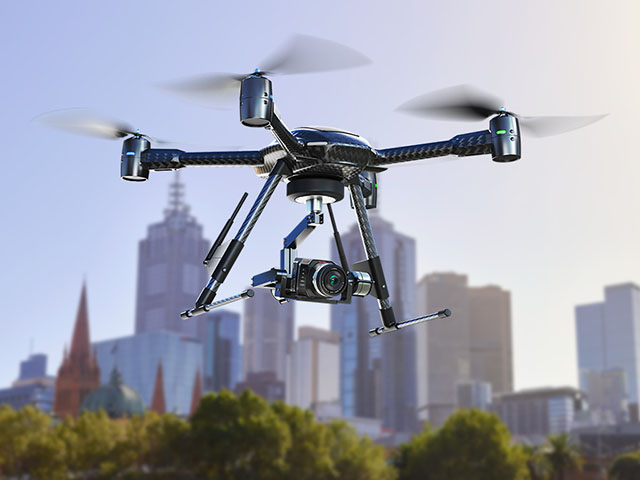
 A Delhi-based startup has developed a platform that could process raw aerial images captured by drones to generate data that industry and government could put into use.
“VisualAI, the platform developed by We Do Sky, tries to address a key challenge that most applications of drones face: difficulty in extracting data from thousands of aerial images. The platform helps drone users with no technical knowledge to make sense of such images and extract consumable intelligence”, Founder Jaspreet Makkar said.
“Any drone pilot can now upload these pictures to the platform and generate useful information and data from them without any prior experience in data processing and image processing. This brings scientist-level technology in the hands of all drone pilots,” Makkar said. VisualAI uses a cloud-based system for photogrammetry, the process of making maps or scale drawings from aerial photographs.
The tool breaks down aerial images into millions of points which are then connected to each other on the basis of similarity in the pictures. The interconnected points are then stitched together to generate a made-to-scale three-dimensional model which can be used to extract critical intelligence by an analyst.
The software is in beta stage and being tested by freelancers and drone users. It comes with a monthly or annual subscription wherein users can process multiple projects at once.
The drone industry is evolving at an enormous pace, including in India, with industries ranging from agriculture to mining, energy and infrastructure increasingly employing these devices in their operations.
We Do Sky is also developing an extensive list of industry-specific tools to help drone pilots generate intelligence for multiple industries, Makkar said.
A sample use case could be government using VisualAI to calculate the area under roofs in a village, its potential to install solar panels, the electricity production per year, etc.
Source: The Economic Times